Smarter Solutions for Forestry & Conservation Efficient drone inspections forsustainable forest management and conservation efforts.
Forestry and Conservation
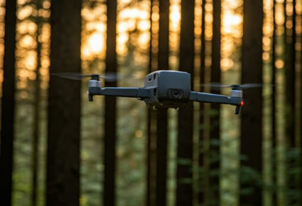
Unlocking the Potential of Drones in Forest Management
Key Benefits of Drones in Forest Management
- Efficient Area Surveying:
- Drones allow for rapid surveying of large forest areas, providing aerial overviews without the need for on-ground teams.
- They’re ideal for tracking forest expansion, deforestation, and other changes in land use over time, helping forest managers make informed decisions.
- Wildlife Monitoring and Protection:
- Drones can monitor wildlife populations without disturbing habitats, making it easier to track animal movements and behavior patterns.
- They are crucial for spotting illegal activities like poaching or unauthorized logging, providing real-time data that aids in conservation enforcement.
- Forest Health and Disease Detection:
- Drones equipped with multispectral cameras can identify early signs of disease, drought, or pest infestation in trees, enabling timely intervention.
- By monitoring the overall health of forests, drones contribute to sustainable forest management and resilience against environmental threats.
- Search and Rescue Capabilities:
- In emergencies, drones can assist search and rescue teams by locating lost hikers or campers in challenging terrain.
- With thermal imaging and GPS technology, drones can detect human presence even in dense, remote areas, significantly improving response times.
- Capturing Natural Beauty:
- Drones provide breathtaking aerial views, capturing the beauty of forests for adventure enthusiasts, photographers, and filmmakers.
- These visuals not only support eco-tourism but also raise awareness of conservation efforts by highlighting the unique features of forested landscapes.
Why Drones are Essential in Forest Management
- Reduced Environmental Impact: Drones minimize on-ground human interference, preserving the natural environment while collecting essential data.
- Increased Safety for Personnel: Drones reduce the need for forest managers, researchers, and rangers to access hazardous or remote areas, enhancing safety.
- Real-Time Data Collection: Drones enable up-to-date data on forest conditions, supporting proactive decision-making and quick responses to emerging issues.
Unlocking the Potential of Drones in Forest Management
Drones in woods open up incredible possibilities. Imagine exploring dense forests without disrupting wildlife or getting lost. They’re perfect for surveying large areas quickly, spotting illegal activities like poaching or logging, and monitoring wildlife populations. Researchers use them to gather data on forest health, track animal movements, and even identify diseased trees early on. For adventure seekers, drones provide stunning aerial views, capturing the breathtaking beauty of natural landscapes. They can also be lifesavers, helping search and rescue teams locate lost hikers or campers. With their unparalleled ability to access hard-to-reach spots, drones are indispensable in forest management and conservation efforts. Whether it’s for research, conservation, safety, or capturing the perfect shot, drones bring a new dimension to navigating and understanding the woods.
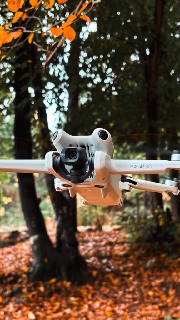
Inspection Capabilities
Precision Inspections, Safer Solutions
High-Resolution Imaging
Thermal Imaging
3D Mapping & Modeling
Real-Time Video Feeds
GPS Precision Tracking
Obstacle Avoidance Sensors
Ensuring Safety & Compliance in Every Flight
We uphold the highest standards of aviation safety and regulatory compliance,
ensuring reliable and secure operations every time.
We uphold the highest standards of aviation safety and regulatory compliance, ensuring reliable and secure operations every time.

EASA Membership
Certified by the European Union Aviation Safety Agency to meet strict safety regulations.

EU Certificate of Competence

Allianz Insurance
Practical Drone Solutions for Your Needs
At Startandland, we specialize in versatile drone services that make challenging tasks simpler, safer, and more efficient. From detailed inspections and immersive virtual tours to conservation and industrial support, our drones are built to handle it all. Whether navigating high structures or exploring dense forests, our team is committed to delivering high-quality data and visuals, backed by the latest in drone technology and industry standards.
Why Choose Start & Land?
- Safety First: Risk-free inspections, every time.
- Efficiency: Faster data collection, streamlined decisions.
- Innovative Tech: High-res cameras, thermal imaging, and beyond.
- Certified & Insured: EASA membership and comprehensive global insurance
get a quote
CONTACT MISSION CONTROL
Ready to launch your project? Reach out to learn more about our drone services or chat about your specific mission. Our crew is on standby to provide intel, answer questions, and guide you through how our solutions can meet your needs.